Stadtbilder
Mapping the digital shape of cities
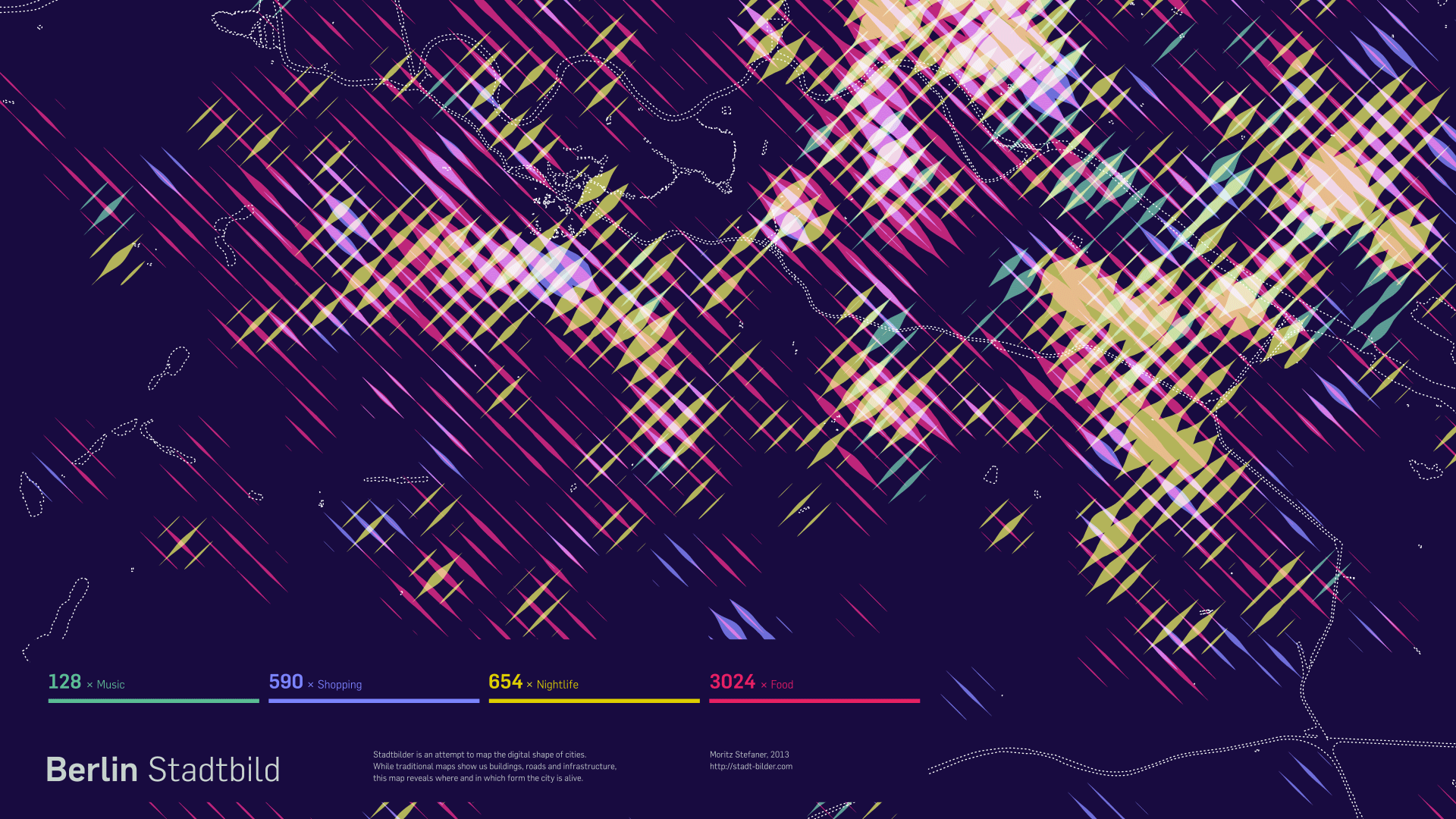
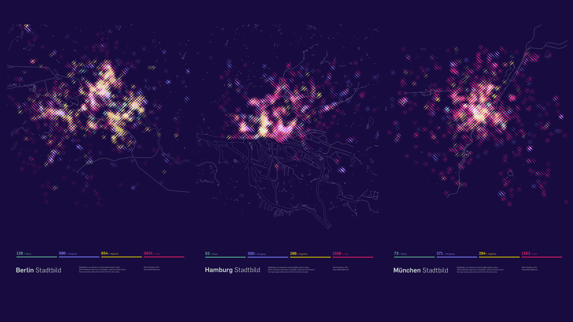
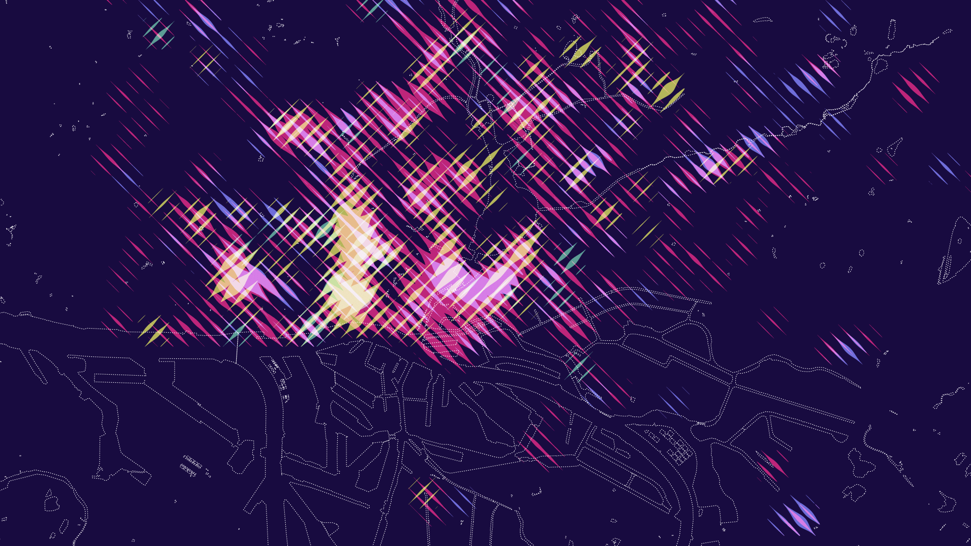
Stadtbilder is an attempt to map the digital shape of cities. While traditional maps show us buildings, roads and physical infrastructure, these maps reveal where and in which form the city is alive. The maps show an overlay of all the digitally marked “hotspots” in a city, such as restaurant, hotels, clubs, etc. collected from different service like yelp, or foursquare. What they don’t show are the streets, the railroads, the buildings. The only exception are the rivers and lakes, for their help in framing the information for the viewer and the influence they have on shaping the cities.
Poster prints
Poster prints are available through redbubble
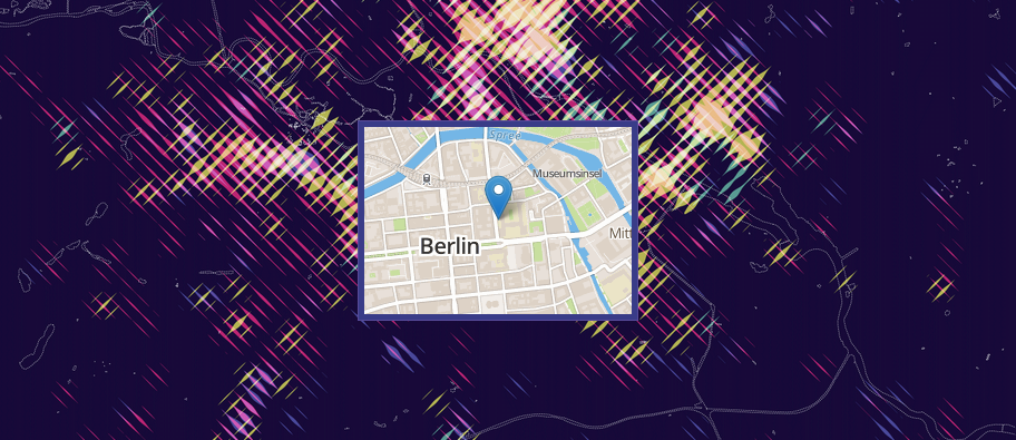
While the designs are meant to be printed, as a digital companion, the website helps you decipher the posters by providing a little map overlay on click.
Process
Find a few thoughts on process and rationale at well-formed-data.net.